


Aylesbury And Leighton Buzzard - Sheet 165
Publisher: Ordnance Survey
Format: Paperback
ISBN: none
Aylesbury and Leighton Buzzard – Sheet 165 (1984) – Ordnance Survey
Ordnance Survey | Landranger Series | ISBN: None
Condition: Good | Sold by Crappy Old Books
Aylesbury and Leighton Buzzard. Two perfectly respectable English market towns surrounded by rolling countryside, picturesque villages, historic buildings and an impressive collection of roads that have spent centuries connecting places whose inhabitants might otherwise have been perfectly content never to meet one another.
Welcome to Aylesbury and Leighton Buzzard – Sheet 165, a splendid 1984 Ordnance Survey Landranger map from the glorious days when travelling through Buckinghamshire and Bedfordshire required a paper map, a reasonable sense of direction and the ability to persuade one’s passengers that the unexpected appearance of a farmyard was entirely intentional.
Published at the practical 1:50,000 scale, equivalent to two centimetres representing one kilometre on the ground, this map offers a detailed geographical portrait of the region, recording its roads, railways, villages, rivers, woodland and countryside with the remarkable precision that has made Ordnance Survey a British institution.
Aylesbury, the historic county town of Buckinghamshire, provides one of the principal attractions, with its traditional market-town character, historic architecture and long association with the surrounding agricultural landscape. Leighton Buzzard, meanwhile, contributes its own blend of market-town heritage, transport history and proximity to the Grand Union Canal, that magnificent reminder of an age when moving goods around Britain involved narrowboats, horses and considerably more patience than most modern delivery companies possess.
The surrounding countryside offers plenty of opportunities for exploration, from the attractive villages and chalk landscapes of the Chilterns to the agricultural plains and historic settlements beyond.
Published in 1984, this map also captures the area during a particularly interesting period of change. Housing developments, expanding commuter settlements and alterations to the road network were steadily transforming the countryside, while nearby Milton Keynes was enthusiastically demonstrating what could happen when town planners were given an enormous quantity of land and permission to experiment with roundabouts.
For local historians, genealogists and enthusiasts of vintage cartography, older Ordnance Survey maps offer a fascinating opportunity to examine the landscape before decades of subsequent development. Roads have changed, settlements have expanded and former fields have acquired houses, industrial estates and the inevitable supermarkets.
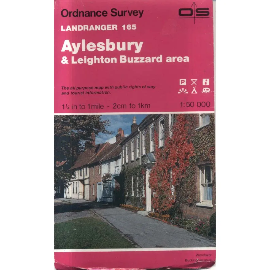
The attractive red Landranger cover features a photograph of Wendover, Buckinghamshire, with its traditional buildings and autumnal foliage providing a reassuringly picturesque contrast to the relentless business of modern road construction.
There is something wonderfully satisfying about a proper paper map. It never requires charging, never loses its signal and never announces that you’ve arrived at your destination while standing beside a locked agricultural gate.
Admittedly, it does require the user to understand where they are, which can be a considerable disadvantage.
This 1984 Ordnance Survey Landranger Sheet 165, offered in Good condition by Crappy Old Books, is an appealing acquisition for collectors of vintage maps, local historians, walkers and anyone interested in the changing geography of Buckinghamshire and Bedfordshire.
A charming cartographic snapshot of the region during the mid-1980s, when planning a journey involved spreading a map across the kitchen table and arguing about whether the scenic route would really save any time.
And if you became hopelessly lost somewhere between Aylesbury and Leighton Buzzard, there was always the traditional solution.
Stop, unfold the map across the bonnet and stare thoughtfully at it until somebody else admitted they had no idea where you were either.
Keep browsing: See more Maps books Other books by Ordnance Survey
